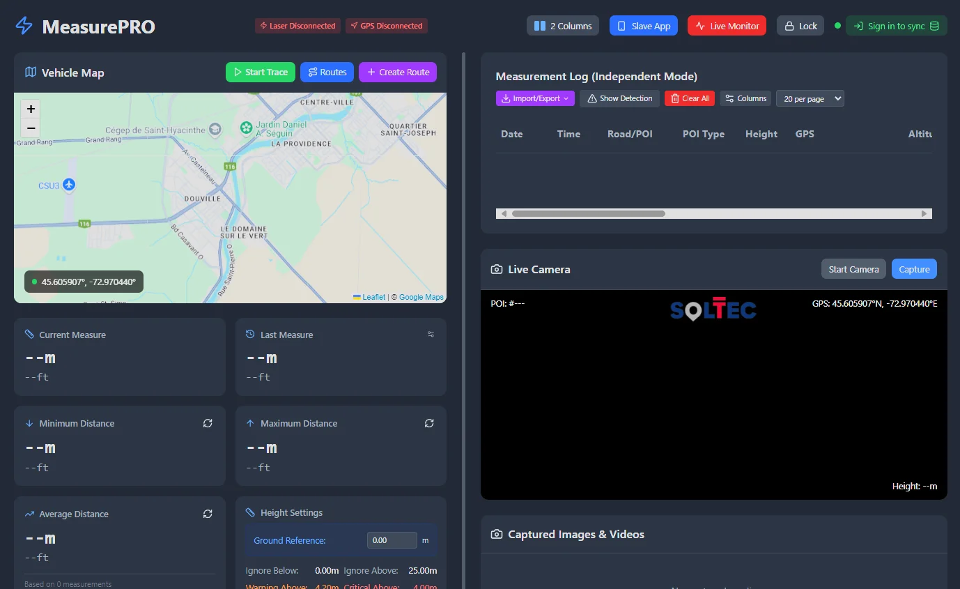
Laser measurements
SolTec LiDAR capture with ±2 mm accuracy across 0.2–250 m.

Built for heavy transport survey teams
MeasurePRO is designed for professional survey teams who need accurate, efficient and defensible data in the field — in all conditions.
SolTec LiDAR capture with ±2 mm accuracy across 0.2–250 m.
Photo and video evidence synchronized with each measurement and position.
Dual GPS/GNSS positioning with professional GNSS/RTK receiver support.
Categorized points of interest with notes, photos, video and voice notes.
Full field capture without connectivity — no internet required on the road.
Live measurements, position and camera feed on one screen as you drive.
Overhead clearance, bridge, lane-width and railroad measurement modes.
Surveys synchronize to RoadScope when you are back online.